Universidad del Valle analyzes Calarcá strategies after earthquake
AI executive summary
The story at a glance, best enjoyed with a coffee ☕
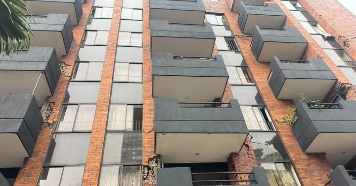
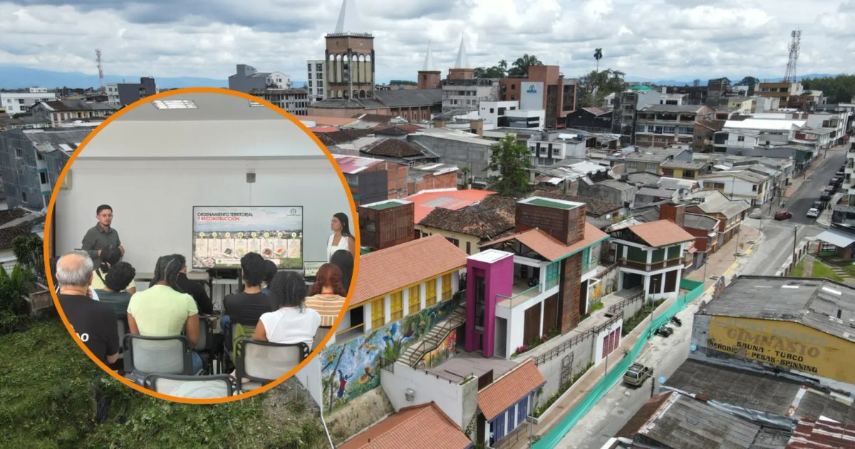
Eighth-semester Geography students from Universidad del Valle visited Calarcá to learn about strategies implemented by the municipality following the August 10, 2026 earthquake. During the encounter, the Planning Secretariat presented actions taken to identify, address, and monitor situations arising from the earthquake. One key point was the use of Geographic Information System (GIS) tools, which allowed for collecting, organizing, and analyzing information to support emergency response and decision-making. This experience was recognized as a success case by ESRI Colombia for its application of technology in territorial management. The Planning Secretary, Javier Esteban Rincón, explained to students the municipal context and actions developed during different stages of the earthquake response.
🔔 Sign in to follow this story and get its updates.
In this story you will find
AI analysis
Why it matters
This experience benefits both university students who acquire practical knowledge, and the municipality of Calarcá that consolidates its emergency management as a reference case. Additionally, recognition by ESRI Colombia positions the locality as a national example in the use of technology for disaster management.
▸▾ Rate, add sources or report this story
Sign in to rate this story and add sources.
Community annexes
Coverage of this same story by other outlets, contributed by readers and checked automatically.
Ask about this coverage
Get an AI answer grounded in reports from different outlets, with links to the sources.